Sunday, December 11, 2011

Today in the 'hood

This quaint sign stands at the "T" on Maughan River Road to make sure you get where you mean to go. Of course, if you ended up at someone else's house, that would probably be OK too.

This afternoon I went for a  typical walk around our neighborhood, locally known as "Cy Maughan" for the guy who originally owned the whole place and eventually split it up - good ol' boy style (pre Comprehensive Plan) - into some of the most non-conforming properties around. We're basically trailer trash around here, with a few fancier houses thrown in.  If you build a fancy house in Cy Maughan, you have to be OK with being surrounded by double-or single-wides, converted school buses and junked cars.
This downy woodpecker got me to bring my camera on the walk. Thanks for the suggestion, dude!

Aspens with bright spots of color: rose hips!

So my wanderings took me to the lookout over the Chewuch River canyon; it's one of our walk stops year 'round. The view is ever-changing and we always have to make sure the river's still there. It is.
The Chewuch flows toward town, cutting through bedrock on its way.

To get these shots, I clung precariously to a deer trail that cuts across the river bluff. Somehow it seemed less scary on the snow than the bare dirt; I'm probably nuts. Here you go.
It looks different in the summer.
Ice, ice, baby.

And now for a mackerel sky. Good night, day.

Monday, November 14, 2011

Ordained

I'm writing a story on wedding ceremony officiants for the upcoming Valley Vows supplement to the Methow Valley News. As part of my research, I decided to see what it takes to become an ordained minister.

It takes an internet connection, an email address, and the ability to fill out a form and submit it online.

Here's my certificate:

I think I'll order a paper copy for $6.99.

To officiate a wedding ceremony, I'll have to register with the county clerk, and maybe need to get a "letter of good standing" for $18 from the Universal Life Church.

They also offer the "Ordination Credential Package" for $49.99 in which you get the certificate, letter, wallet ID card, and a bunch of blank wedding certificates and other stuff.

As of right now, I can officiate marriages, baptisms, funerals/burials AND absolve sins. Cool.

Tuesday, October 11, 2011

A cow story . . . .


Cow #82 made her way into downtown Winthrop on a rainy Monday morning. She had been thinking about buying some real estate or getting her skis tuned or maybe just ordering a double tall latte when she changed her mind and headed back up East Chewuch Road under the gentle guidance of Deputy Marshal Rory Williams.

Thursday, October 6, 2011

Boundary Trail - Part Two

At Cathedral Lake
So from Cathedral Pass we hiked down through glorious lake basins and boggy meadow high country. We landed at Remmel Lake for the night where we met up with acquaintances at their "drop camp" who had our food re-supply for the second half of the trip. Spent the only frosty night of the trip at Remmel Lake; turned around the next morning and headed back the way we came.

But don't forget: the way back is never exactly the same, Grashopper . . . .
A view of Cathedral
Remmel Mountain peaking up behind the high meadows
Remmel Lake and mountain at dawn
Two hikers ready for the return trip
Frank navigates a tricky stretch below upper Cathedral Lake
Our much-welcomed tarn at Sheelite Pass
Perfect campsite on granite at Sheelite Pass
Hiking out the final morning we encountered Frank's internist, Dr. Chris Hogness, accompanied by seven pack goats. Family still asleep in tent on other side of Sunny Pass.
Pastel dawn in Horseshoe Basin

A trek along the Boundary Trail - Part One


You belong among the wildflowers . . .  in Horseshoe Basin.
The Boundary Trail runs roughly parallel to the U.S.-Canadian border, just a few miles south of the international swath in places. From August 24 to August 29, Frank and I hiked the trail roughly three days in one direction (Iron Gate to Remmel Lake) and then turned around and retraced our steps to the trailhead above Toat's Coulee out of Loomis.

The weather was hot and sunny the whole trip; the bugs were horrendous - tent-screen-covering mosquitoes in camp, biting flies on the trail in the afternoon; the views were outstanding.

I still appear fresh on Day 2.
Sunny Pass - looking back the way we came.
Lowden Lake early morning.
Bug netting was all the fashion in camp.
After-lunch snooze.
BIG trail junction at Tungsten Mine.
Ancient rails lead out to the tailings pile. Apex Mountain.
Mine artifacts. Frank on tailings pile.
Apex Peak from Apex Pass. I stayed below and applauded wildly while Frank bagged the peak.
First view of Cathedral Peak; the pass is in the left saddle.
Frank on switchback approach to Cathedral Pass.
The view west from Cathedral Pass.
Trip to be continued in Part Two . . . .

Tuesday, September 27, 2011

A quick trip to Stehekin

Whoa. Where did August and September go? Whoa.

Frank and I have been busy, I guess. I'm going to "catch up" by posting some stories and photos of our activities in no particular order. I might not even put dates on the events. So there.

First off: A quick trip to Stehekin.
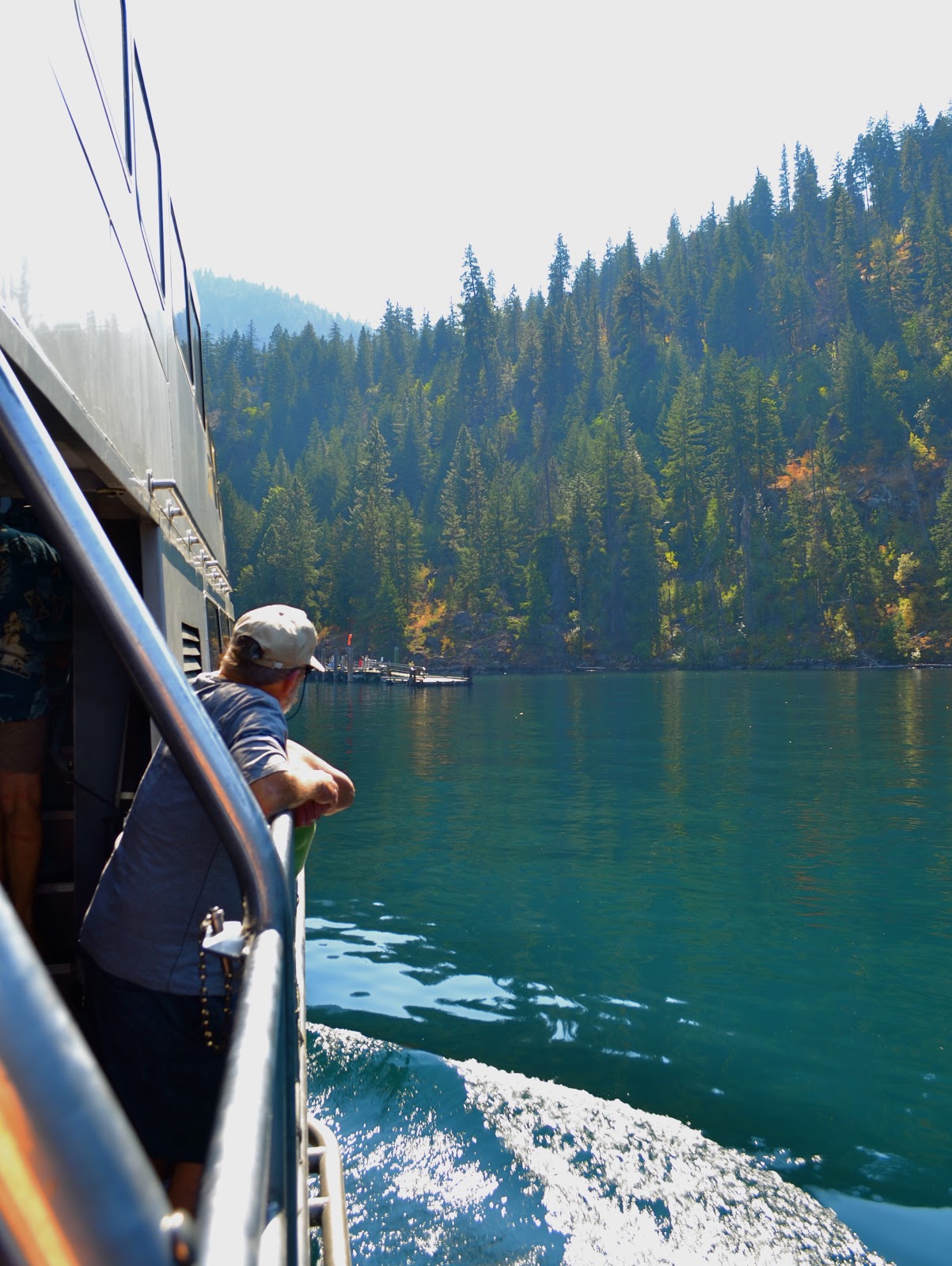
The Lady Express on Lake Chelan
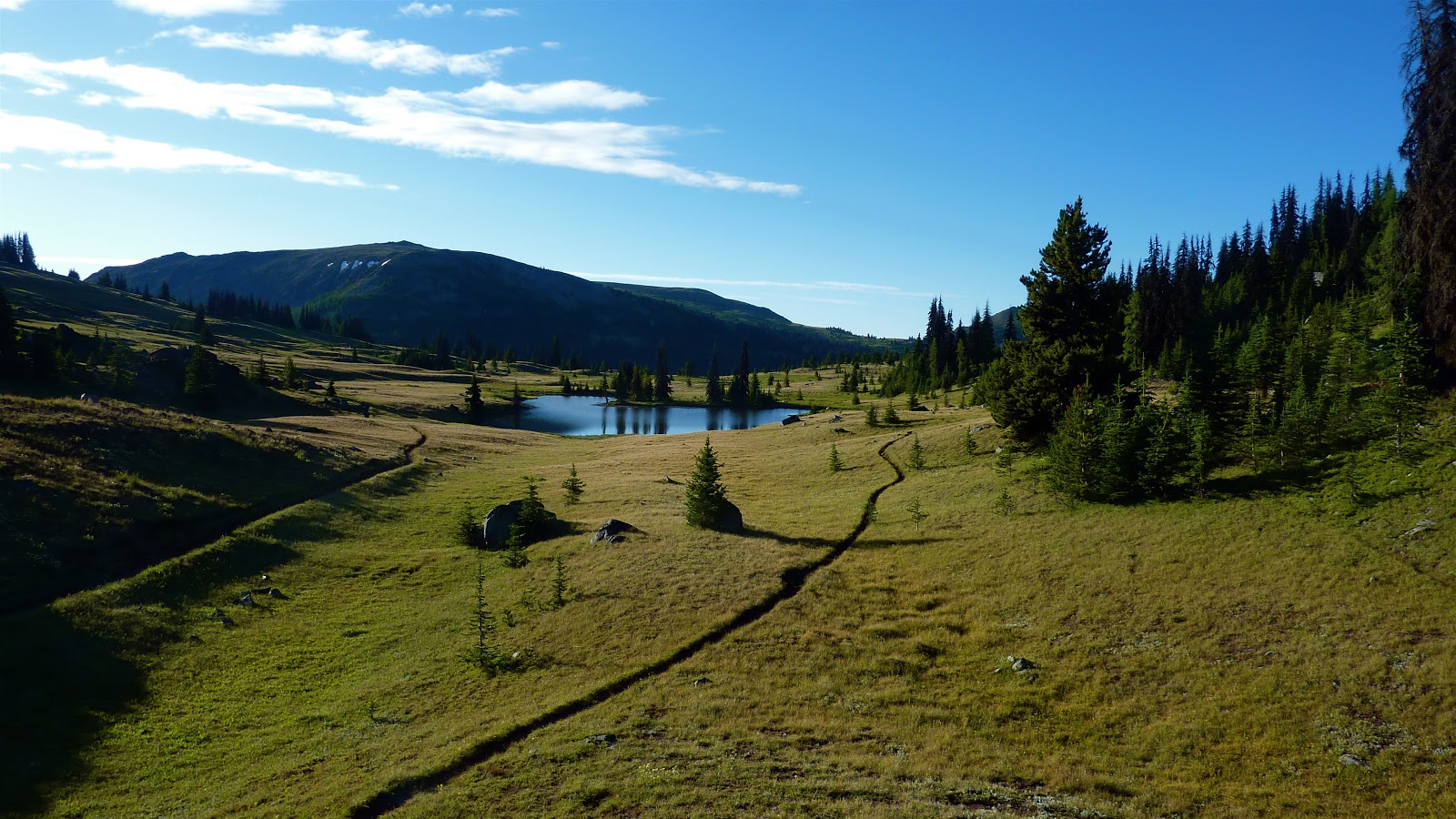
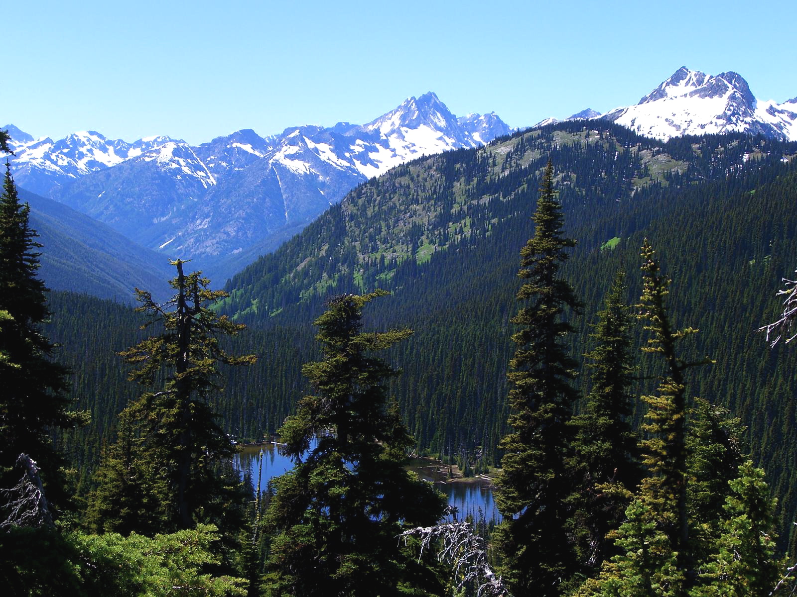
Frank has hiked many pieces of the Pacific Crest Trail over the years, and he's semi-serious about completing sections as he goes along. Last summer he hiked from the Canadian border to Rainy Pass with his friend, Rob Langsdorf from San Diego, who is seriously section hiking the PCT. Anyway, Frank wanted to walk from Rainy Pass to Stehekin, so he took the opportunity a few weekends ago.

I decided I wanted a few extra hours at home, so I dropped him off at the Bridge Creek trailhead on Saturday after lunch and said, "I'll meet you in Stehekin tomorrow."

Early Sunday morning I boarded the Lady Express in Chelan and began a two-and-a-half hour boat ride up Lake Chelan.
You wouldn't believe the boring scenery on the way up lake . . . .
The boat arrived at Stehekin Landing around 11 a.m.  
Major activity at the landing - that's the national park bus.
So I had around 4 hours to myself in Stehekin to wander around, find and set up our campsite, eat lunch and nap atop a picnic table along the shore. It was rough. The weather was glorious (if a little hazy from distant forest fires), and the surroundings couldn't have been more serene.

Frank arrived on the 3:15 shuttle bus Sunday afternoon as planned. He was very hot, tired and dusty but we cleaned up with a dreamy swim in the crystal-clear waters of Lake Chelan. SO GREAT!
Sunset looking into the North Cascades from the tiny marina.
Frank and I had a lovely dinner at the only restaurant in Stehekin. The food was delicious. Now think about this people: It's the only food vendor in town. The food could stink and they'd still be serving it. But no, they do better than they have to. How refreshing.

We didn't have to get on the boat back to Chelan until noon on Monday, so we rented bikes in the morning and rode a couple miles to the excellent bakery for breakfast.
Frank and cinnamon roll. Yum.
The scenery along the Stehekin Valley Road was outstanding, we basically had the place to ourselves, and there was something so sweet about just pedaling along on our poopy old rental bikes.
The Harlequin Bridge - our turn around point.
Kokanee salmon (land-locked sockeye) in the Stehekin River.
Wetlands where the Stehekin River enters Lake Chelan.

Wednesday, July 27, 2011

Last weekend up Twisp Pass

Day hiking for us around here usually means driving 30 minutes to one hour to get to the trailhead (not forgetting the appropriate parking pass - state or national?) and then heaving our bodies uphill for several hours, having lunch, and then lurching our way downhill to the car. Gosh. It doesn't sound that great when I put it that way. Must be my painful joints talking . . . .
Anyway, we hiked up Twisp Pass on Saturday. It is SUCH a beautiful trail.

I told Frank we pretty much saw the whole wildflower book along the 2600 feet of elevation gain.
That's Hock Mountain there with the headwaters of the South Fork of the Twisp River in the valley below.
We traveled on snow for a while. It's almost August for goodness sakes! Some trails may not be snow free before snow flies again.
Beware the pink snow monster.
A good 4 to 6 foot base of snow here still.
We had lunch slightly above the pass. Yeah. I'm always thrilled to keep going UP, but certainly the views were worth it.
That's Dagger Lake below and nothing but national park in the picture.
I really like wooden signage in the wilderness.

This weekend we'll drag our butts up some other god-awful trail. Maybe Copper Glance. Maybe someplace in the Sawtooths. Any suggestions?